Details about the Archaeological and Geographical Information Systems Laboratory

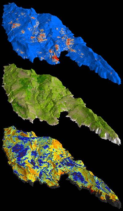
The Archaeological and Geographic Information Systems Laboratory (the AGIS Lab) at the Institute is a postgraduate research and teaching facility designed to assist and encourage computer-based research across a wide range of sub-fields in archaeology. The AGIS Lab facilitates practical applications such as digital cartography, server and client-side databases, image processing, ground-, air and satellite-based remote sensing, statistical analysis, computational modelling, simulation and landscape visualisation.
We run Linux servers and PC workstations, along with an A1 digitising tablet, A1 and A4 scanners and both colour and greyscale printers. In addition to providing access to UCL's central provisions for software, the lab also provides local installations of the following specialist packages: Adobe Creative Suite, ArcGIS, Archeosurveyor, Autodesk Map 3D, Eclipse, ENVI, Google Earth, Paraview, PostgreSQL and PostGIS, Idrisi, Inkscape, Landserf, GIMP, GRASS GIS, gvSIG, Mapserver, Netlogo, QGIS, PAUP, R and RePast.
Training in lab software and equipment is conducted primarily through various taught MA and MSc courses. These currently include GIS in Archaeology and History (ARCL0094), GIS Approaches to Past Landscapes (ARCL0095), Spatial Statistics, Network Analysis and Human History (ARCL0103), Geophysical Survey in Archaeology (ARCL0143), Exploratory Data Analysis in Archaeology (ARCL0087) and Archaeological Data Science (ARCL0160).
Several ongoing fieldwork research projects also make use of the laboratory's facilities.
If you have any questions relating to the use of these facilities, please contact Andrew Bevan or Mark Lake.
In addition to the specialised facilities detailed above, UCL provides computing facilities to all students and staff. Direct access to these facilities is provided through 'cluster rooms' located in the Institute of Archaeology, as well as throughout the College.
 Close
Close

