CEGE academic to chair international Laser Scanning workshop
4 June 2019
Civil, Environmental and Geomatic Engineering (CEGE) Associate Professor, Dr Jan Boehm, has organised and will chair the Laser Scanning workshop at 2019’s International Society for Photography and Remote Sensing’s (ISPRS) Geospatial Week.

Running from 12 – 13 June at The University of Twente in the Netherlands, the workshop is the eleventh in the Geospatial workshop series, and will involve six breakout sessions, two of which will also be chaired by Dr Boehm.
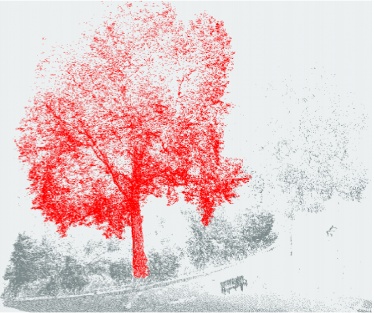
Covering various aspects of space borne, airborne, mobile and terrestrial laser scanning in both indoor and outdoor environments, the workshop will offer attendees the opportunity to hear from experts who focus on processing and using point cloud data acquired from laser scanners and other 3D imaging systems. 29 oral and 33 poster presentations - chosen from 75 submissions - will form part of the workshop.
Speaking on the event, Dr Boehm, a member of CEGE's Geomatics section, and Programme Director of the department's Geospatial Sciences (Building Information Modelling) MSc, said “I am looking forward to this workshop - the work currently being done in this field is exceptional and this event will focus on how we are adapting quickly to the newest technologies and the ways we’re using data. To have our workshop appear in such a prestigious event for the geospatial field, as well as the sheer number of submissions we received, shows how much interest the geospatial discipline has in laser scanning and 3D imaging systems.”
This year’s ISPRS Geospatial Week will be the fourth time the biennial week has run. The event aims to increase communication between different communities both within ISPRS and externally.
Links
Please note, some links may send you to external websites.
- UCL Civil, Environmental and Geomatic Engineering
- Dr Boehm’s CEGE profile
- ISPRS Geospatial Week 2019
- University of Twente
- UCL Geomatics research page
- Geospatial Sciences MSc routes programme page
Image
- Credit: Dr Jan Boehm
 Close
Close

