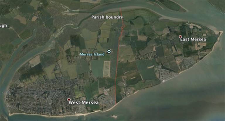
Investigating Essex's maritime landscape.

This project is a collaboration between the UCL Institute of Archaeology and the CiTIZAN project and represents an extension of the coastal/intertidal focus of the CiTIZAN case-study of this part of Essex in order to understand the relationship between the coast and landscape across the early middle ages, but also in the long duree. Carefully targeted fieldwork will provide new data to enhance our understanding of the development of the historic landscape.
Mersea Island bore witness to one of the most intensive infrastructural projects that took place anywhere in England in the immediate aftermath of the Roman occupation of Britain - the construction of a massive timber causeway. Set on an estimated fifteen thousand oak piles (two of which are dated to the fourth quarter of the 7th century, 692AD), this unparalleled civil engineering project is placed squarely in the context of the rise of the first political entity to control London after the Romans: the kingdom of the East Saxons.
Large-scale questions of kingdom formation and the sharp economic upturn that occurred during the 7th and 8th centuries can be addressed in microcosm through the lens of Mersea’s exceptional and distinctive, yet fragile and diminishing archaeological resource.
Funding
- Society of Antiquaries Research Grant
 Close
Close

