Mapping the People of Scotland
We're living in the age of 'Big Data.' The information bank gathered by everything from social media services to mobile phones is so large that the usual processing applications can't cope.

16 August 2017
The challenge is to discover the most effective and efficient ways to analyse, share, understand and extract value from it all.
This matters. The better we get at being able to access and analyse the trends big data throws up, the better will be our decisions and actions. The benefits of leveraging big data - and the correlations it reveals - can include everything from identifying and preventing the spread of disease to more accurately targeting resources at poverty.
Digital mapping is playing an important role in this process, as a recent project undertaken by a research team at UCL demonstrated.
Helping the Scots make their mark on the map
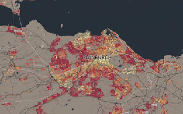
By using the power of modern mapping techniques - and based on standard 2011 census information - researchers at UCL have mapped the people of Scotland in unprecedented detail. In a project commissioned by National Records of Scotland and the Scottish Government, 'DataShine Scotland' shows, in glorious and detailed clarity, a wide range of social characteristics for that nation.
By mapping over 1,000 such characteristics (covering everything from health and education through to housing conditions and how people travel to work) for over 46,000 Scottish areas, the UCL researchers have developed a fantastic tool for telling the story of Scottish life. Right down to factors such as where Gaelic or Scots speakers live.
Visualising the small details in the big data
The project was led by UCL's Dr James Cheshire, who is Deputy Director of the Consumer Data Research Centre (CDRC), which is funded by the Economic and Social Research Council (ESRC).
James, who worked closely with software developer Oliver O'Brien from the Dept of Geography at UCL to convert the data into cartography, commented, 'The power of maps is that they can be used to tell stories about life in the UK in incredible but easily accessible detail. The data used for our Scottish census maps is a small, but significant, proportion of what's being collected by government and industry as they seek to better understand the UK population. Thanks to the ESRC investing into initiatives such as the CDRC, we can get a more detailed impression of the UK data landscape and explore ways in which it can be used for the benefit of us all.'
How mapping can make a difference
UCL Consultants, explained their role in the project, 'James' team had already undertaken a similar mapping project based on the data gathered for England and Wales for the last census. It made sense that they should undertake this version for Scotland. After scoping out the scale and specification for the project, my job is to ensure that the administration of the agreement doesn't get in the way of the specialists trying to do their job.'
They concluded, 'A mass of data is being collected on all of us every day; almost as a by-product of the modern technology we use. This important project will make all that information quicker and easier to gather, manage, access and understand through leading edge mapping technology. It will bring real benefits to society at large.'
 Close
Close


