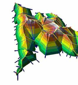
CASA and Department of Geomatic Engineering were awarded a contract on terrain generalisation by Ordnance Survey. The project lasted 11 months and focussed on the development of a software solution for generating a multi-scale and morphologically consistent generalisation of terrain, in order to be coupled with the Ordnance Survey's new MasterMap Data. The project was based on CASA/GE's research on Surface Network Modelling. For more information, write to Sanjay Rana.
 Close
Close
