 Close
Close

CASA's research is focused on the application of computer models, data visualisation techniques, innovative sensing technologies, mobile applications and urban theory linked to city systems.
These are explored via a wide range of methods from social physics, scaling to econometric and statistical models, augmented reality and hyper-local sensing through to crowd sourcing in our research.
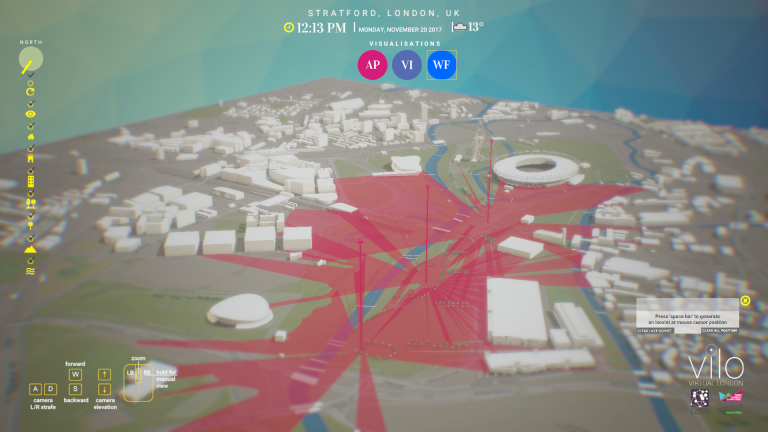
Our focus is multidisciplinary, building simulation models, visualising 'big data', developing bespoke applications and creating new methods for the collection, analysis and communication of data.
Our output operates on a variety of scales from the hyper-local through to the scale of buildings up to the metro region, we are actively involved in extending these ideas to more global problems and challenges.
The frameworks that we use to guide our work depend on systems theory and the complexity sciences, as well as visualisation technologies, human computer interaction and innovations in network communications and Cloud/Grid based data analysis.
Our work is policy and application orientated in that many of our tools and models are central to informing systems ranging from urban planning through to museum, retail and heritage applications and onwards to social network understanding all with the focus on location, scale, space and place.
Take a look at our current projects.