CASA Working Paper 211
Employment Accessibility in the London Metropolitan Region: Developing a Multi-Modal Travel Cost Model Using OpenTripPlanner and Average Road Speed Data

6 September 2018
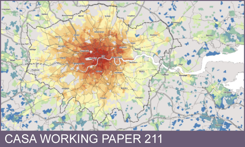
Accessibility analysis is relevant for a number of active geographical research areas, including equity analysis of travel opportunities between socio-economic groups; sustainability analysis of travel opportunities by transit and active modes compared to car trips; and investigating spatial planning topics such as labour market access and jobs-housing balance. The scale and complexity of travel networks in large city regions favours geocomputational modelling methods, and recent data and software advances are improving the sophistication of accessibility models. These advances include the wider availability of detailed transit schedule data; the wider availability of high quality road network and average road speeds data; and the development of sophisticated open source journey planning software. This paper describes the development of a public transport travel costs model for the London Metropolitan Region using the software OpenTripPlanner; and a second private car travel costs model using Ordnance Survey network data and average speeds data from Highways England and the UK Department for Transport. The computational feasibility of modelling multimodal travel times for a large metropolitan region is demonstrated, with the accuracy of the results validated against surveyed journey-to-work times. The travel time model results can be used in a range of accessibility measures, with mapping and statistical examples provided. Limitations of the method are discussed, including the exclusion of public transport fares and parking costs from the models, and the limited consideration of temporal variation in accessibility.
Author/s: Duncan A. Smith
Download Working Paper 211 (file size 17MB, file format PDF)
 Close
Close

