CASA Working Paper 41

1 January 2002
Spatial Clustering Method for Geographic Data
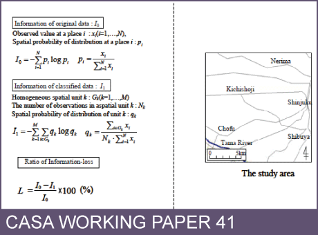
In the process of visualizing quantitative spatial data, it is necessary to classify attribute values into some class divisions. In a previous paper, the author proposed a classification method for minimizing the loss of information contained in original data. This method can be considered as a kind of smoothing method that neglects the characteristics of spatial distribution.
In order to understand the spatial structure of data, it is also necessary to construct another smoothing method considering the characteristics of the distribution of the spatial data. In this paper, a spatial clustering method based on Akaike's Information Criterion is proposed. Furthermore, numerical examples of its application are shown using actual spatial data for the Tokyo Metropolitan area.
This working paper is available as a PDF. The file size is 661KB.
Authors: Toshihiro Osaragi
Publication Date: 1/1/2002
 Close
Close

