 Close
Close

Using Spatial Analysis to Measure UK Gentrification
25 May 2020
Dr Adam Dennett & CASA Alumnus Joshua Yee publish blog for CARTO on spatial analysis and UK gentrification
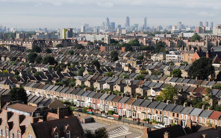
Deepening social inequalities have remained a constant in our contemporary urban landscapes. Particularly within global cities like London, the disparities have become increasingly apparent with the city being home for the majority of the UK’s richest 1%, or indeed the 0.1% and also a large proportion of its urban poor. In spite of such polarisations, a sense of indifference towards the needs of the average Londoner seemingly prevails throughout London’s hyper-commodified housing market, which is typified by sky-rocketing property prices and a chronic undersupply of truly affordable housing options.
Read more at: https://carto.com/blog/spatial-analysis-gentrification/