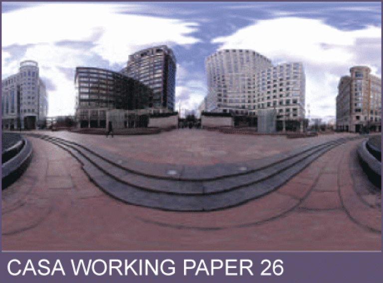
CASA Working Paper 26

1 October 2000
Visualizing the City: Communicating Urban Design to Planners and Decision-Makers
There are now a wide array of new digital tools that are able to support the generic activity of planning and design. In urban design, these tools support different stages of the planning process which involve rapid and effective storage and retrieval of information, various kinds of visualization which inform survey and analysis as well as design itself, and different strategies for communicating information and plans to various publics from design professionals to the affected community. In this paper, we begin by noting the activities that such digital tools can support, emphasizing methods of visualization, and specifically focusing on integrated 2d mapping and 3d block modeling.
We then review the state-of-the-art, worldwide, suggesting that there are rapid changes taking place in how such visualizations are being developed. We note developments in remotely sensed survey and in the development of 3d models integral to spatial databases as reflected in geographic information systems (GIS) in contrast to computer-aided design (CAD). We illustrate these ideas with respect to developments in world cities, specifically London, where we review initial attempts at the design of virtual cities. We then show two related but different ways of constructing such models: first in ad hoc fashion by linking various proprietary software based on internet GIS, rapid photorealistic CAD, and panoramic imaging; and second through a tighter coupling between 2d and 3d GIS which is highly suited to the new digital data from remote sources such as LIDAR (LIght Detection And Ranging). We conclude with a discussion of different ways in which these visualizations might be automated and delivered to users, in stand-alone manner or over the net. Acknowledgements This project on which material in this paper has been based was funded by the Corporation of the City of London and involved a world-wide review of computer visualization projects for cities. Various web pages support the project at www.casa.ucl.ac.uk/3dcities/index.htm & www.casa.ucl.ac.uk/3dcities/london3d.htm. The authors gratefully acknowledge Sarah Sheppard's contributions to this project.
This working paper is available as a PDF. The file size is 3.27MB.
Authors: Michael Batty
Publication Date: 1/10/2000
 Close
Close

