Masterclass: Rapid Flood Mapping and Damage Assessment Using Sentinel-1 SAR and Landsat Images
05 December 2022, 1:00 pm–2:00 pm

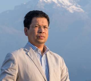
This expert masterclass, led by Mr Kabir Uddin from the International Centre for Integrated Mountain Development (ICIMOD) in Nepal, will examine how timely geographic information system (GIS) data and maps of flood-prone areas can be used to prioritise disaster response work on the ground.
This event is free.
Event Information
Open to
- All
Availability
- Yes
Cost
- Free
Organiser
-
Dr Bayes Ahmed – UCL Institute for Risk and Disaster Reduction
Location
-
Cruciform Building B404 - Lecture Theatre 2Gower Street,LondonWC1E 6BTUnited Kingdom
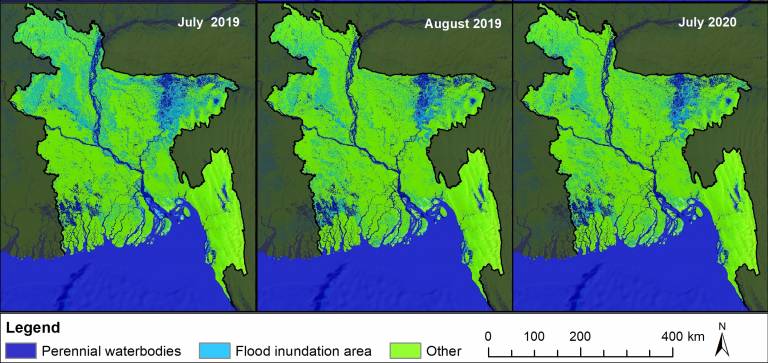
Floods are frequent natural hazards producing an unusual water overflow that submerge a large area, affecting the frontline communities, their livelihood and environmental vulnerability, and increasing social and economic consequences. In the past few decades, average flood frequency, intensity, and duration have increased, seriously impacting low-lying countries. Knowing the areas inundated by floods is essential to mitigate the effects of the disaster. With timely flood information and early warnings, agencies and organisations involved in disaster management can speed up emergency response for relief and rescue measures. Even rapid flood maps provide crucial inputs for assessing the extent of inundation areas and flood severity. In this masterclass, we will demonstrate a reproducible and automated method based on Google Earth Engine (GEE) to generate rapid flood magnitude data at a national scale. The knowledge gained in this workshop will help produce timely geographic information system (GIS) data and maps of flood-prone areas to prioritise disaster response work on the ground.
About the expert

 Close
Close

