Close
Close

Full project name: Regional crop monitoring for North China Plain with quantitative remote sensing and data assimilation techniques.
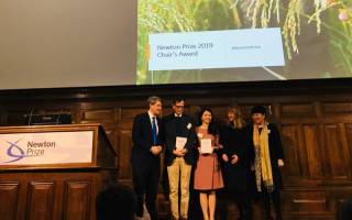
This project is jointly funded by the Science and Technology Facilities Council (STFC) and the National Natural Science Foundation of China (NSFC). It has been recently awarded the Chair's Award of Newton Prize 2019.
 | 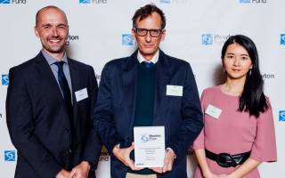 |
From left to right: Dr Hugh Mortimer (STFC), Professor Philip Lewis (UCL Geography) and Dr Qingling Wu (UCL Geography). Image Credit: Dan Tsantilis Photographer
- February 2020
Other links:
- Crop yield estimation: explainer
- Project outputs
YouTube Widget Placeholderhttps://www.youtube.com/watch?v=zBQ3NLuYE44
- Project Code Links
Links to project open source codes.
- WOFOST Ensemble package (Hongyuan Ma)
- SIAC (atmospheric correction) code (Feng Yin)
- SIAC validation images (Feng Yin)
- TOA2LAI python (Feng Yin)
- GEE version of SIAC and LAI retrieval (Feng Yin)
- Yield (not all public yet) (Feng Yin)
- March 2016
China has only 10% of the world's arable land and water resources but has to feed 20% of the world's population. Moreover, the population continues to increase, while the amount of arable land is shrinking due to pollution, urban sprawl, groundwater depletion, and other stresses. With future climate change expected to only worsen these pressures, the accurate monitoring of agricultural productivity is essential to China's future food security, in addition to the economic development of low-income rural regions. In no part of the country is this more essential than China's north plain? This has historically been the breadbasket of China. Today, however, it faces an exceptionally challenging combination of very high population densities and ecological stresses and low levels of household income.
Traditionally, researchers have used two general methods for monitoring agricultural productivity. The first, which has long been used by Chinese government agencies, is to combine field surveys of crop growth, with mathematical models of crop growth processes, to construct estimates of changing harvest yields over time. The second, which has risen to prominence more recently, is to use satellite imagery to continuously assess agricultural productivity. Each of these techniques has its own notable strengths and weaknesses. Survey-calibrated models of crop growth are able to produce highly accurate estimates of yields in the limited areas where survey data has been collected; however, their accuracy drops off significantly outside of these areas. On the other hand, satellite remote sensing data offers universal geographic coverage; however, the resolution of this data is extremely coarse over either time or space. MODIS data, for example, provides near-daily data that can be used to assess the productivity of every single farm in China. However, the spatial resolution of pixels is only 500-1000 meters, an area which will invariably be contaminated, in densely populated China, by a mixture of roads, villages, and other non-agricultural land uses in addition to the farmland actually being studied. Other satellites (e.g. LandSat TM and forthcoming Sentinel) provide finer scale pixel resolution than MODIS; however, they do not cover the same sites as often, making it harder to smoothly track agricultural production over time.
Reflecting the wider explosion of the field of "big data" analysis, rapid strides have been made in recent years in the development of so-called "data assimilation" techniques. These can be broadly described as statistical methodologies that allow for otherwise incompatible datasets to be combined together, in order to produce hybrid datasets that are superior to any of their predecessors. The basic objective of the proposed project is to apply advanced data assimilation techniques to multiple types of crop data-from both survey-calibrated crop growth models and satellite imagery-to produce superior estimates of Chinese agricultural productivity than would be possible using any of these data sources by itself. In addition to making use of more advanced statistical methods than previous studies, this analysis will be among the first to make use of data from the forthcoming Sentinel and the Chinese GF satellites. Taken together, we expect that the result will be the most accurate portrait created to the date of changing agricultural production in the North China Plain. Moreover, having created this data, we will be able to apply it predictively in conjunction with modelled scenarios of future climate change, in order to map and assess the likely geographies of agricultural stress that this will create. Ultimately, the findings of this project will directly inform work by academic researchers, national and regional Chinese governmental authorities, AgriTech companies in both China and the UK, and extension workers directly advising farmers in China.
We have recently made a short video explaining what the SOW project does. Find out more about our latest outputs.
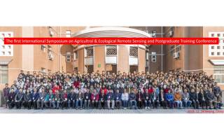
Winter school on quantitative remote sensing was attended by 500 students. |
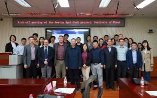
SoW SAR Kick-off meeting was successfully held in Beijing. |