This interdisciplinary project explores the evolution of London’s periphery over the past two centuries, using a combination of space syntax and urban historical methods.
Overview
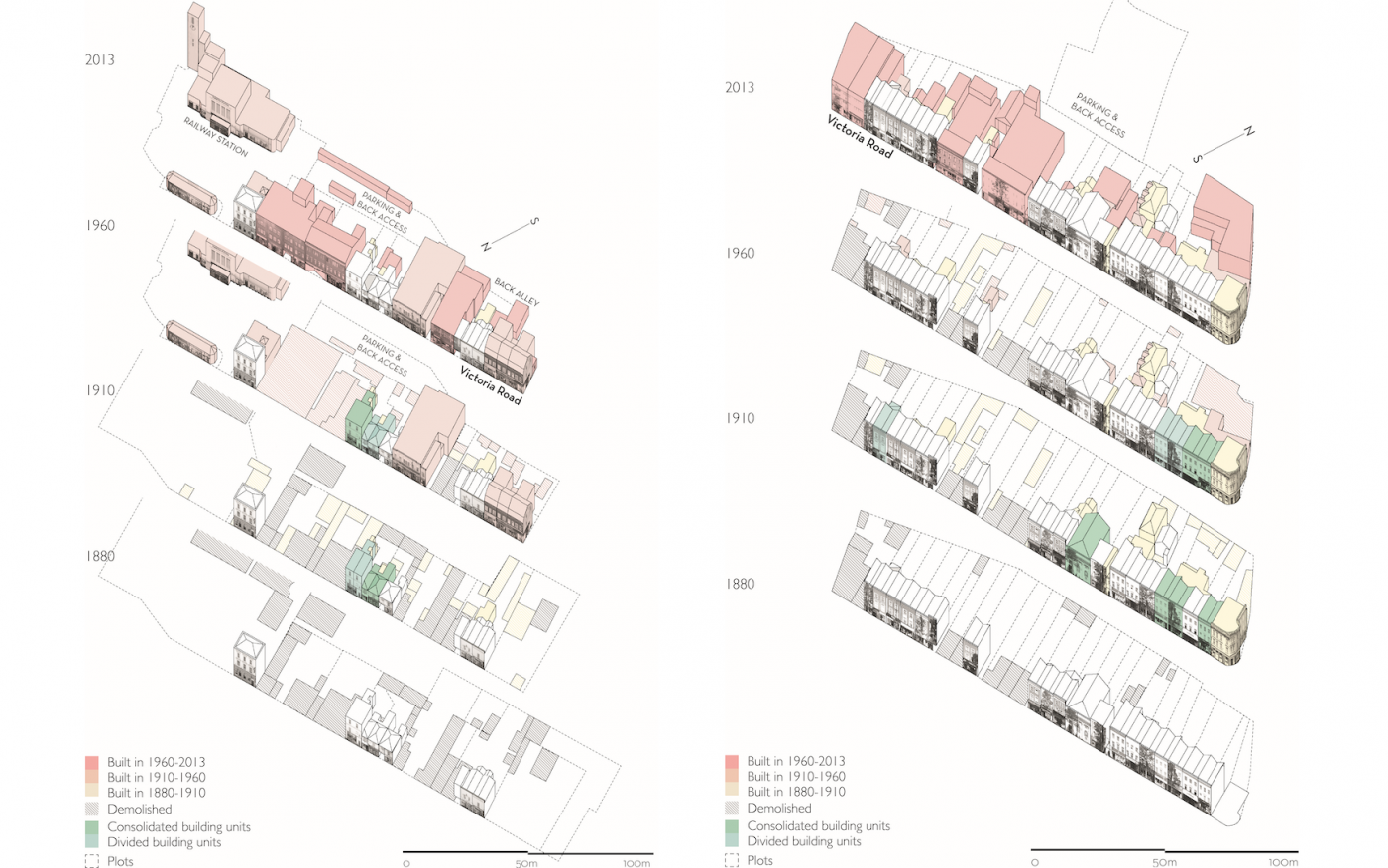
This interdisciplinary project explores the evolution of London’s periphery over the past two centuries, using a combination of space syntax and urban historical methods. Working with geographers and urban historians, the project tests a novel proposition about how centres of socio-economic activity emerge through time. It highlights the importance of adaptability: of the street network, of the buildings and of the land uses within them. A butcher’s shop may have stood in that location for over 100 years, though the name or ownership may have changed; thus, proving a continued need for this keystone establishment in the community. Adaptable and diverse buildings and plots help commercial, community and industrial uses change in response to social and economic developments. A well-connected street network can also ensure a local centre is embedded within its wider vicinity.
The project finds that the urban fringe encompasses patterns of settlement, economic patterns and housing stock that, whilst being characteristically suburban according to conventional measures of density or distribution of land use, nevertheless illustrate the fundamental linked nature of the city’s larger and smaller centres into a single system. More recently, the project has considered the role of minority ethnic business ownership in shaping opportunities for economic success within a locality, and the role of high streets in fostering opportunities for social interaction.
Project findings have been translated into several academic papers and books, and have also contributed to policy papers on the future of high streets, transport and planning policy.
- People
Principal Investigator
Professor Laura VaughanCo-Investigators
Professor Muki Haklay
Dr Sam Griffiths
Dr Claire Ellul
Professor Victor BuchliHonorary Senior Research Fellow
Dr Ashley DhananiHonorary Senior Research Associate
Dr David Jeevendrampillai- External partners
Towards Successful Suburban Town Centres: a study of the relationship between morphology, sociability, economics and accessibility 2006-09-30 to 2009-12-31 | Grant from Engineering and Physical Sciences Research Council (Swindon, GB): EP/D06595X/1
Adaptable Suburbs: a study of the relationship between networks of human activity and the changing form of urban and suburban centres through time 2010-11-01 to 2014-10-31 | Grant from Engineering and Physical Sciences Research Council: EP/I001212/1
- Image credits
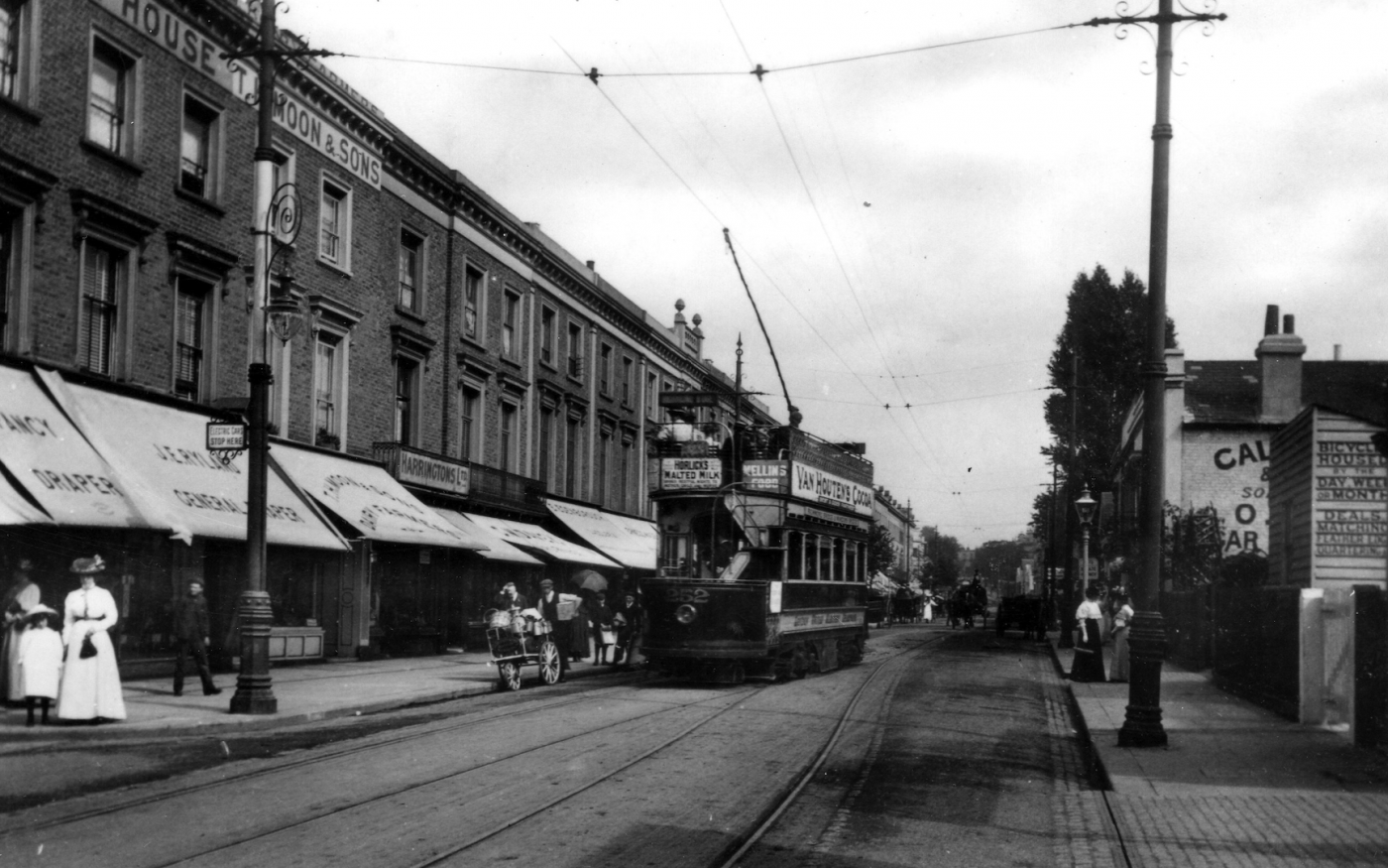
Image 1: Victoria Road, Surbiton 1907: postcard from the private collection of Dr Ruth Davies
Image 2: Victoria Road, Surbiton adaptation over time © Ilkka Törmä and The Adaptable Suburbs project
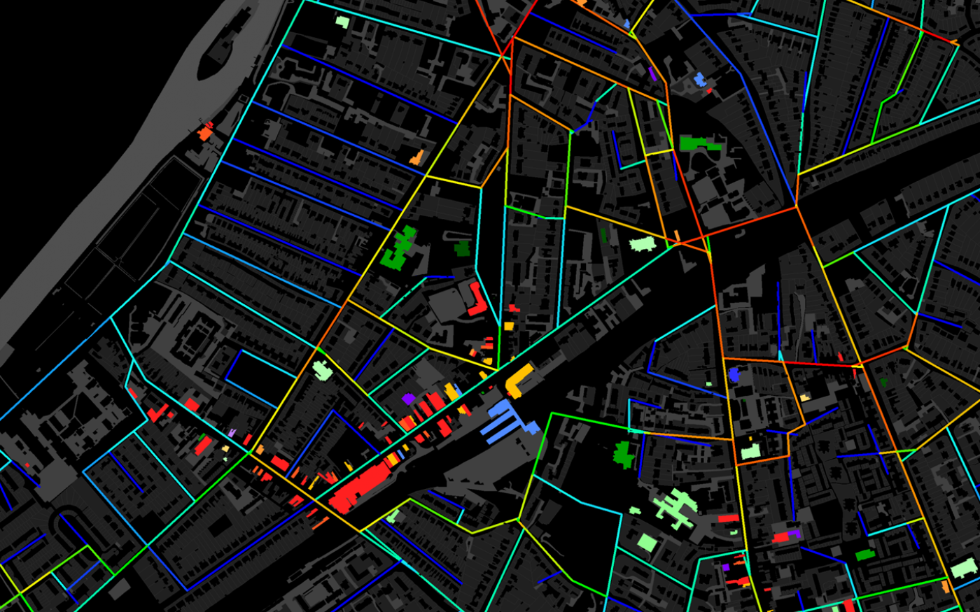
Image 3: Victoria Road, Surbiton 2014: land use diversity and network accessibility © The Adaptable Suburbs Project
 Close
Close


