Discover the Map Library Project
28 July 2022
Down in the UCL Geography Map Library, a new world is opening up.

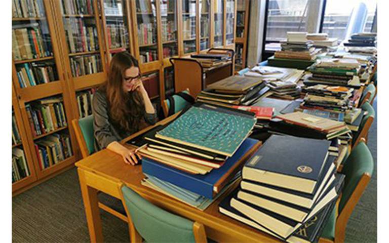
Working between the stacks of atlases and maps are two students, Alice Rickenberg, MSc Remote Sensing and Environmental Mapping and Aleksandra Walczak, BSc Social Sciences with Quantitative Methods.
Together they are starting the essential work of bringing the thousands of pieces in the UCL Geography Map collection to a wider audience.
This extraordinary assortment of atlases, map sheets and books are housed in the ’Oxenham Room’, named after Anne Oxenham the curator of the collection for over 40 years.
Anne kept things in order through a meticulous system of index cards stored in small wooden drawers.
Operating decades before Google Maps, students and academics would come to her with requests and she’d be able to take them straight to the drawer and then the map they needed.
"We've basically been putting all these cute little cards into a proper spreadsheet," Aleksandra explains.
"Our work has mostly been about research, figuring out which are the really rare and unique items.
"It's like digging down into the history of this place and discovering something genuinely unique."
Alice and Aleksandra's work has focused up to this point on the atlas collection, digitising nearly 800.
"Traditionally, map libraries like this one would have been used for geography classes," Alice tells us.
"I've heard that whole lessons would have been built around looking at just one map.
"But now, the amount of data online is so huge, there isn't much use for places like this.
"Even still, they're obviously of immense interest to geographers and historians."
She unfolds a large white sheet of paper, crisscrossed with thin grey lines, a map of London drawn in 1843.
It was published by the Society for the Diffusion of Useful Knowledge, a group started in 1826 with many UCL founders among its members.
"They wanted to exploit advances in cheap printing and distribution methods available at the time to, as they saw it, 'educate the masses'," Alice says.
In less than 20 years the Society produced over 3 million such maps, the equivalent of 15,000 atlases.
The Map Library has an almost complete set in its collection.
"I took Professor Cheshire's Cartography and Data Visualisation module, which is how I first discovered the Map Library," Alice tells us.
"I found it all so interesting. Not just the historical maps, but some of the more modern 20th-century things as well.
"I'm interested in studying history in general and this is a great way to do that."
While Alice and Aleksandra are coming to the end of their work in the Map Library, the project is continuing to uncover more and more exciting discoveries that the Department hopes to share in the coming year.
 Close
Close

