The impacts of forest fires in Northern California
11 November 2019
Mat and Phil estimating forest fuel loads with 3D terrestrial Lidar

Earlier this year Professor Mat Disney was part of a successful bid led by Professor Lisa Bentley, from Sonoma State University, to explore new methods to estimate fuel loads and fire impacts in forest plots in Northern California.
Mat and team are working with Professor Bentley in the Pepperwood Preserve, helping explore how new approaches, including terrestrial lidar, drone-based photography, and even structure-from-motion techniques using mobile phone photography, can help augment or improve existing fire risk assessments.
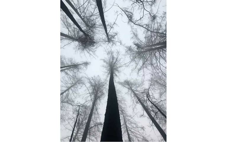
The aim has been to work in plots that were badly affected by the fires of 2016, to quantify the fuel loads of these plots, their susceptibility to re-burning, and how fire risks can be predicted and mitigated more effectively.
The urgency of this task has become even more apparent given the huge fires that broke out recently right in the area the team were working.
The Kincade Fire in particular has burned right through the Pepperwood Preserve, as well as causing mass evacuation and rolling power blackouts.
In contrast to 2016, the current fires have fortunately claimed no lives but the conditions leading to such outbreaks, including more frequent and prolonged drought periods followed by high winds, are predicted only to get worse.
Mat and Dr Phil Wilkes flew out in late September, meeting up with Lisa and her team at Pepperwood, an amazing 3200-acre site, in the Mayacamas Mountains between Sonoma and Napa counties. It is home to the non-profit Dwight Centre for Conservation Science, which carries out all kinds of public outreach activities as well as facilitating cutting-edge science.
They spent 10 days helping to scan various contrasting plots, from fairly dense tall pine-dominated, to scrubby low stature oak and shrub. By collecting lidar and other data from these contrasting plots, the team hope to build up a more accurate picture of the amount of standing and fallen wood, and hence available fuel.
State fire management specialists need these numbers to model and predict the risk of fire occurrence and the severity and duration of the burn, which in turn influences management priorities. The UCL team will be working closely with Lisa over the next 2 years on this project, which is opening up fascinating new uses for the UCL 3D terrestrial lidar methods.
 Close
Close

