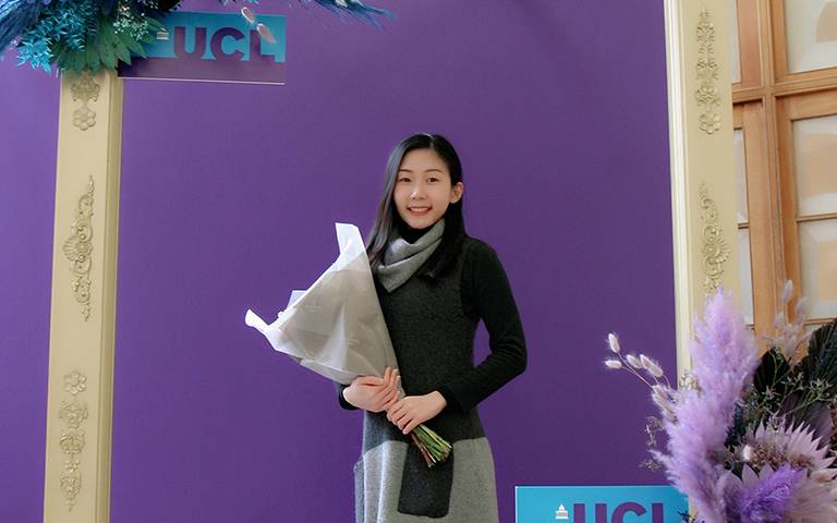
Wanxin Yang, MSc Remote Sensing and Environmental Mapping
Meet Wanxin, a graduate from our MSc Remote Sensing and Environmental Mapping programme.

24 January 2024
She tells us about how her interest in the stemmed from a fascination with laser scanning techniques during her undergraduate studies and the coding skills she’s learned with us.
Why were you interested in studying an MSc in Remote Sensing and Environmental Mapping?
“During my undergraduate study, I developed a particular interest in laser scanning techniques.
“I was captivated by the engaging practical sessions that involved reconstructing impressive 3D models of buildings and heritage sites.
“This interest led me to pursue a Master's degree in Remote Sensing at UCL Geography, where I had the unique opportunity to delve deeper into the applications of 3D laser scanning, especially in the context of forestry.”
And why did you to choose to study at UCL?
“I chose UCL for its renowned academic reputation and its consistent ranking among the world's top universities.
“Specifically, UCL Geography is a leader in its field, and the MSc programme in Remote Sensing and Environmental Mapping stands out due to its long-standing heritage.
“The programme offers advanced study in remote sensing from ground-based to spaceborne platforms and is led by world-class teachers and researchers.
“Additionally, it provides students with access to state-of-the-art research facilities and computing resources.”
What were the most interesting or engaging things you learned on the course?
“One of the most engaging aspects of the course was the Scientific Computing module, which I found both interesting and immensely helpful.
“It taught me many transferable skills, for example, how to write Python code to manipulate large amounts of satellite data and conduct time-series modelling.
“I was particularly excited to learn about data manipulation and script execution on the Linux system.
“Also, the exposure to open-source software and materials shared on GitHub was impressive.
“It facilitated a global exchange of knowledge among people with shared interests, which I found incredibly inspiring.”
Can you tell us about any particularly memorable experiences from your time as a Master's student with us?
“One of the most memorable experiences during my Master's studies was the period spent on my dissertation project.
“This project offered me the opportunity to collect field data using sonic tomography equipment on church garden trees and street trees in London.
“The results of this study were presented as a poster at the National Centre for Earth Observation (NCEO) annual conference.
“Despite the tight schedule, this experience was incredibly enriching.
“It honed my all-round skills, particularly in academic writing and communication, and heightened my awareness of the importance of assessing uncertainty in scientific research.”
What have you been doing since graduation?
“I am currently in the final stage of my PhD studies at UCL Geography, and have recently been appointed as a Research Assistant at UCL and NCEO.
”In this role, I am working with Professor Mat Disney on projects related to terrestrial carbon, spanning scales from ground to space.
“The foundational knowledge in terrestrial laser scanning and above-ground biomass, coupled with the computational skills like Python programming and Linux operations that I acquired during my MSc studies, have significantly facilitated my transition into PhD research, enabling me to engage more effectively and efficiently in my current work.”
Would you recommend studying Remote Sensing and Environmental Mapping in the Department and why?
“Absolutely, I would highly recommend studying Remote Sensing and Environmental Mapping in the Department of Geography.
“The programme not only broadened my horizons but also equipped me with a robust blend of theoretical knowledge and practical skills in this field.
“It played a pivotal role in paving my path towards becoming an expert in laser scanning, specifically in forest contexts.
“The Department’s comprehensive approach to learning and its focus on real-world applications make it an ideal choice for anyone aspiring to excel in this dynamic and evolving field.”
More Information
Interested in following in Wanxin’s footsteps? Find out more about our MSc Remote Sensing and Environmental Mapping course and see out other degrees in the Study section.
 Close
Close

