New project to help predict the future of the UK's coastline
23 March 2012
A new project is being launched that will help forecast what the UK's coastline will look like in up to 100 years' time.

The four-year £2.9m iCoast project brings together UCL scientists with researchers from a number of other UK universities, research laboratories and leading consultants, to develop new methods that will characterise and forecast long-term changes to coastal sediment systems.
This work is funded by the Natural Environment Research Council and is partnered by the Environment Agency (EA), who will use these methods to improve long-term flood and erosion risk management.
UK coastal areas are at greater risk of flooding and erosion than their landward equivalents. Degradation of their geomorphic systems, due to sediment starvation and/or climate change, could greatly increase these risks.
Professor Jon French, UCL Geography, said: "We are excited to be embarking on this very challenging project that aims to deliver a major advance in our ability to predict how our coasts will change during the 21st century.
"UCL's role will be to lead development of a new broad-scale systems framework for understanding the complex web of interactions between coasts, estuaries and the offshore zone, and also to develop new computer-based models to predict how coastal morphology will evolve over the timescales relevant to the forecasting of climate change impacts at the coast. "
UCL's role will be to lead development of a new broad-scale systems framework for understanding the complex web of interactions between coasts, estuaries and the offshore zone
Professor Jon French
Previously, the ability to analyse and forecast geomorphic changes was limited. However, thanks to improvements in the analysis of coastal and offshore landform behaviour, the iCoast project will look to develop and implement models that can provide a breakthrough in the prediction of coastal behaviour under conditions of change.
These behavioural landform models will be capable of coupled application at regional scales to resolve key interactions between climate forcing, sediment supply, morphology and erosion, and flood risk.
These models will be achieved through four work streams:
- A Systems Modelling Framework that will characterise coastal elements and features and the relationships between them to define what quantitative models are needed to simulate the data;
- Producing Behavioural Geomorphic Models that combine our knowledge of coastal processes with representations of the key feedbacks and interactions between different landforms to predict future coastal systems behaviour;
- Case studies will be undertaken in two contrasting coastal regions (from Lowestoft to Harwich in Suffolk and Liverpool Bay) to evaluate the results from work streams 1 and 2;
- Pathway to Impact - ensuring that the results and the component models of the research will be promptly and effectively used in strategic coastal assessments and wider coastal science.
The iCoast consortium includes: University of Southampton, UCL, Oxford University, Manchester University, Swansea University, Cardiff University, HR Wallingford, National Oceanography Centre, British Geological Survey, Haskoning and Channel Coastal Observatory.
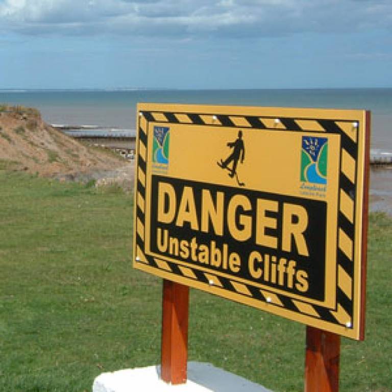
Image: Hornsea Cliffs (Credit: Dr Sally Brown, University of Southampton)
Links:
UCL Geography
National Environment Research Council
Environment Agency
 Close
Close

