UCL Maps website: new features
18 January 2017
The
 ucl.ac.uk/maps">UCL
Maps website, which is managed in
UCL Communications, has undergone a substantial update since the beginning of
Term 1 2016, including the enhancements below.
ucl.ac.uk/maps">UCL
Maps website, which is managed in
UCL Communications, has undergone a substantial update since the beginning of
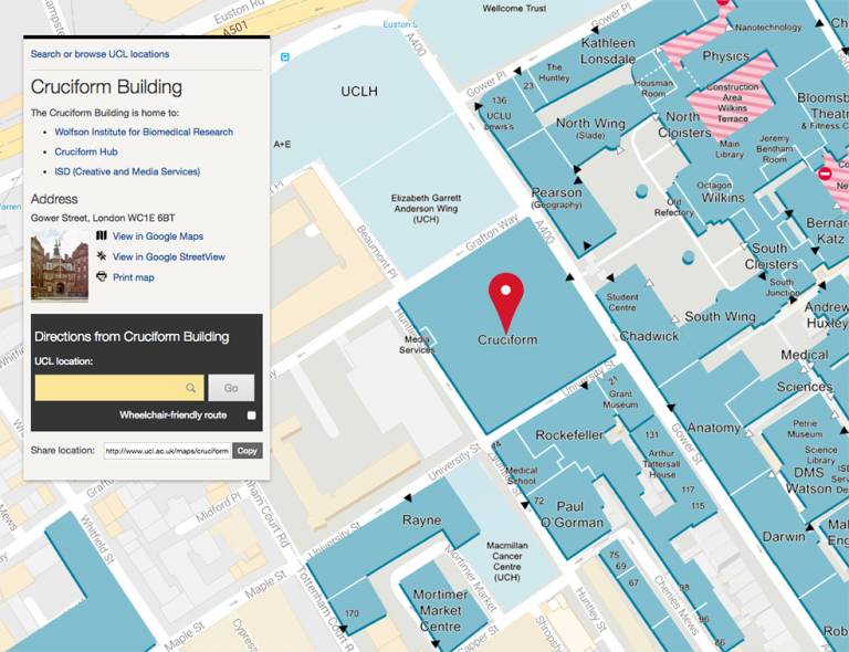
Term 1 2016, including the enhancements below.- An enhanced overlay now visually reflects ongoing building work as part of Transforming UCL, highlighting areas restricted to the public.
- Study space availability around campus is now included, where this information permits. This feature has been introduced in recognition of the importance of this information to the student experience. Ultimately we hope to make this a 'real-time' feature reflecting the availability of study space around the campus.
- Simplified descriptions make it easier to identify which departments are based in large buildings - UCL's buildings can be complex with multiple departments or units based in any one location. UCL's student accommodation descriptions have also been streamlined and supporting information brought into line with the information provided to prospective students, so that there is greater consistency across UCL's digital space.
- The routefinder now includes non-central UCL locations, in response to user feedback. As UCL continues to grow, we acknowledge the benefit of being able to reach UCL, regardless of location.
"We're pleased to report that the site saw a 35% rise in traffic in December compared with the same period in 2015, thanks to sustained in-house development and promotion across central channels led by the UCL Communications team," said Lara Carim, Head, UCL Digital Communications.
As ever, we continue to develop UCL Maps based on user feedback. Planned developments include an enhanced keyword search and virtual reality (3D images) to showcase some of our world-leading facilities. To get in touch with ideas for further enhancements, please contact the Digital Communications team at digital-comms@ucl.ac.uk.
Mark Skinsley, Web Developer, UCL Communications
 Close
Close

