Listen: Explaining remote sensing remotely
10 January 2011
Links:
 geog.ucl.ac.uk/about-the-department/people/academics/mat-disney/dr-mathias-mat-disney" target="_self">Dr Mat Disney
Dr Mat Disney, Associate Lecturer in Remote Sensing in UCL Geography, explains his involvement in a recent educational programme that enables academics to explain their research to school children in Chicago using real-time technology.
"I was recently invited to introduce my subject to high-school students from under-served communities in Chicago as part of the Upward Bound Maths and Science programme.
"My work focuses on the remote sensing of vegetation, the carbon cycle and climate, and building mathematical and computer simulation models to exploit the measurements made from remotely sensed imagery.
"The Upward Bound programme is a government-funded initiative that provides keen students across a range of abilities with an introduction to real-world applications of science, technology, engineering and maths (STEM) outside their normal curriculum. The programme aims to help students recognise and develop their potential to excel in these subjects and to encourage them to pursue degrees and ultimately careers in the maths and science profession.
"The students, from high schools across Chicago, attended sessions for three hours on Saturday mornings and interacted with invited speakers in real-time via video, interactive whiteboards and instant messaging.
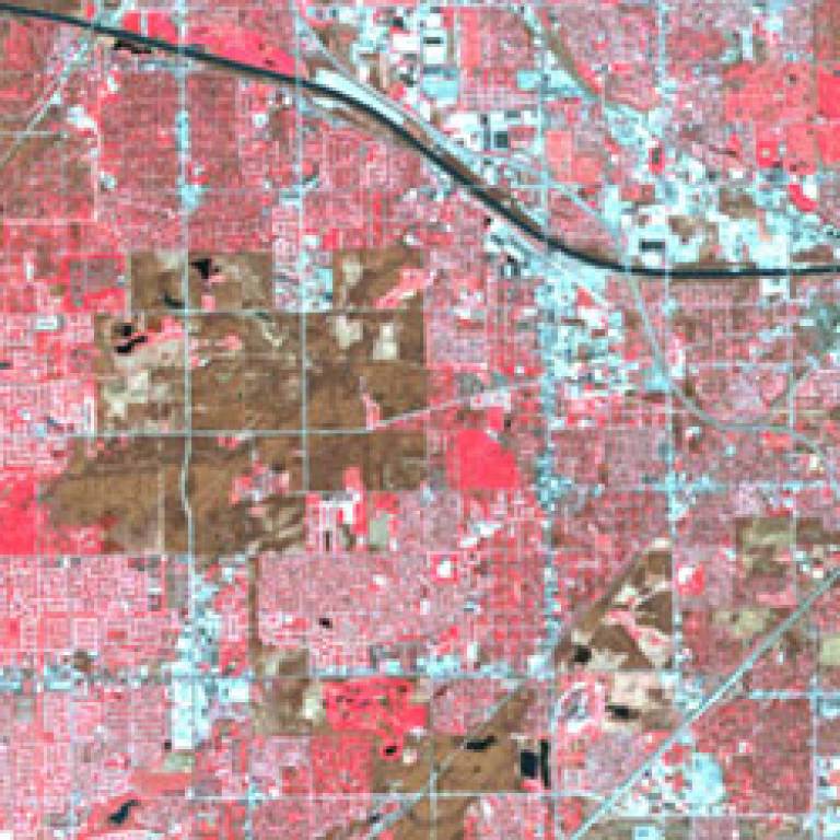
"Using Adobe Connect software, I appeared live via webcam to the Chicago students, and was able to show images and interact with them in real time. I showed examples of satellite images and we discussed what they reveal and what their environment and scientific applications might be. Although the set-up takes a little bit of getting used to, it makes two-way interaction very simple.
"After introducing myself, I asked the students what they knew about the UK, and their questions and responses are shown in the chatbox at the lower left of the images within the slideshow. I then discussed how sunlight interacts with vegetation and asked the students to explain why vegetation looks green to us - all from the comfort of my back garden office at home!
"The students were great - really enthusiastic and attentive, with lots of feedback, and I found it a very illuminating and rewarding experience and something I'm keen to repeat."
In this audio slideshow Mat explains in more detail how the students responded to some of the satellite images he presented.
Image above: Satellite image of downtown Chicago image copyright © 2011 GeoEye
Related news
Student Q&A: The Premier of South Australia on renewable energy
 Close
Close

