Mapping the East End Labyrinth
13 May 2008
Links: UCL Bookshelf: 'Jack the Ripper and the East End'
 bartlett.ucl.ac.uk/graduate" target="_self">Postgraduate programmes
Dr Laura Vaughan (UCL Bartlett School of Graduate Studies), a Senior Lecturer in Urban and Suburban Settlement Patterns, has fused modern technology with historical data to create a website entitled 'Mapping the East End Labyrinth'.
The site is based on Dr Vaughan's Engineering and Physical Sciences Research Council (EPSRC) funded research, in which she has used space syntax methods to analyse mapped social data to study the relationship between urban form and segregation.
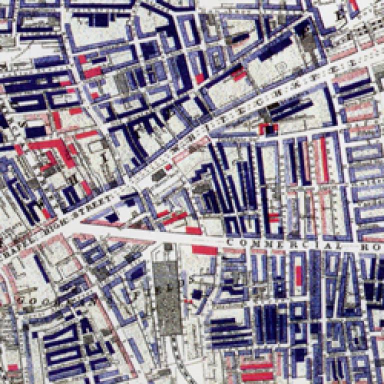
Using some of the wide range of historical maps owned by the Museum of London, Dr Vaughan illustrates how social exclusion is the outcome of an emergent, complex spatial process. London's patterns of social status, poverty, immigration and crime can all be seen on the site, which shows maps dating from the 1800s onwards.
The site has been created to accompany an exhibition entitled 'Jack the Ripper and the East End' at the Museum in Docklands, which commences this week. Dr Vaughan and Dr Richard Dennis (UCL Geography) have also contributed chapters to the accompanying book.
To find out more, use the links at the top of this article
Image: East London in 1888 was an overcrowded, densely packed
district containing a large cluster of immigrants intermingled in a varying
pattern with the local population
 Close
Close

