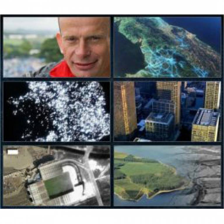
Building BBC's 'Britain from Above'
13 August 2008
Links:
 casa.ucl.ac.uk/" target="_self">UCL Centre for Advanced Spatial Analysis
Researchers from the UCL Centre for Advanced Spatial Analysis (CASA) assisted in the stunning visual representations in the new BBC2 programme 'Britain from Above' which began last weekend.
UCL CASA is an interdisciplinary research centre that brings together academics specialising in archaeology, architecture, cartography, computer science, environmental science, geography and many more areas across UCL. The centre drew on its expertise in developing computer technologies related to space, location and the built environment to help the BBC organise and refine vast sets of information for use in its groundbreaking visuals.
For example, the researchers mapped data from the 2001 Census, Britain's railway network and the GPS traces of 400 London taxis, which had been produced by Dr Ben Croxford of the UCL Bartlett Graduate School.
The resulting graphics allow viewers to see the patterns of transport, telecommunications and life in general across landscapes and communities in Britain from a bird's eye view.
The series is presented by political journalist and commentator, Andrew Marr. It runs until 24 August and previous episodes can be viewed on BBC iPlayer.
Dr Andrew Hudson-Smith, Research Manager at CASA said: "The programme has provided one of the most advanced geographic visualisations of the country to date. Being able to take the data we work with on a day-to-day basis and see it transformed using advanced camera matching techniques and compositing represents a step forward for data representation and one we are proud to be part of as UCL."
To see the graphics and find out more about the programme, follow the links at the top of this item.
|
Context The UCL Centre for Advanced Spatial Analysis is based in the UCL Faculty of the Built Environment. It has ten research fellows working on projects dealing with spatial problems and policies that link urban design to geographic information systems to online multi-user environments. Related stories UCL CASA launches MapTube Evolving cities: 'Science' paper |
 Close
Close

