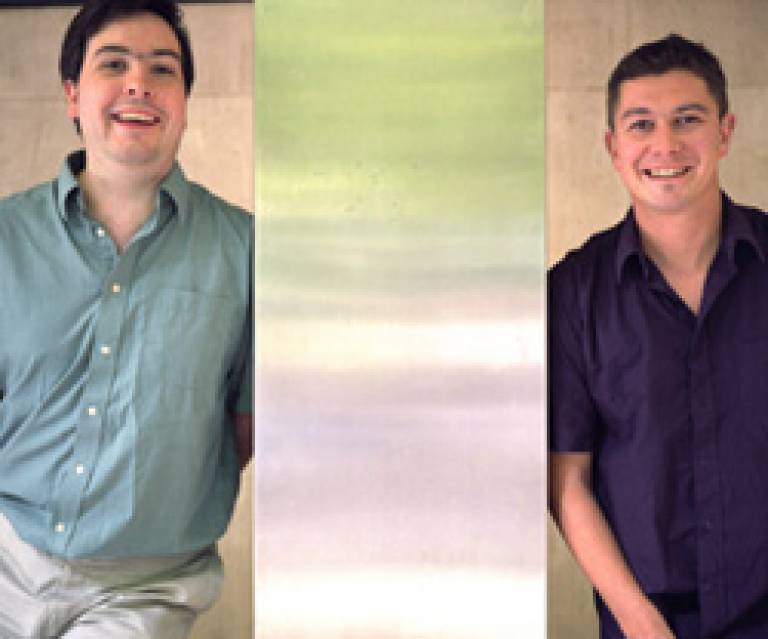
UCL researchers on the hunt for Blandings
14 October 2003
Two researchers from UCL's Centre for Advanced Spatial Analysis (CASA) have employed innovative mapping techniques to locate Blandings Castle, the mythical abode of Lord Emsworth in P G Wodehouse's Blandings Castle novels.

Ian Greatbatch and Daryl Lloyd used geographical information systems (GIS) to locate the castle, based on geographical clues gleaned from the stories. They concluded that Blandings must lie in Appley Park near Hifnal and Telford in Shropshire.
The project was undertaken purely in the pair's spare time, and was presented at the annual conference of the Royal Geographical Society and Institute of British Geographers. Ian said: "We spent six arduous months reading every one of Wodehouse's novels. Then, using digital maps, we employed a viewshed analysis - a GIS technique used in landscape planning. We ended up with a number of layers, which we used to create a final 'layer of suitability' by superimposing on top of one another to find the castle."
To find out more about the centre use the link below.
Link: CASA
 Close
Close

