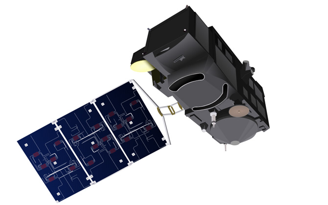
Sentinel-3
MSSL produced products and Algorithms Definition for Level 2 non-ocean altimetry

16 February 2016
Sentinel-3 is primarily an ocean mission, however, the mission is also able to provide atmospheric and land applications. The mission provides data continuity for the ERS, Envisat and SPOT satellites.
Sentinel-3 makes use of multiple sensing instruments to accomplish its objectives; SLSTR (Sea and Land Surface Temperature Radiometer), OLCI (Ocean and Land Colour Instrument), SRAL (SAR Altimeter), DORIS, and MWR (Microwave Radiometer).
 Close
Close

