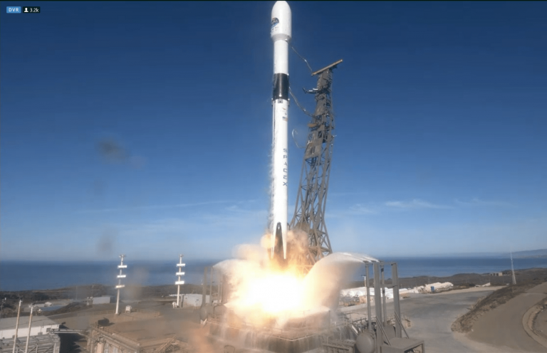
Successful launch of Europe’s Copernicus Sentinel-6 spacecraft
21 November 2020
Today saw the successful launch of Europe’s Copernicus Sentinel-6 spacecraft from Vandenberg, USA. Sentinel-6 is the next radar altimetry reference mission to extend the legacy of sea-surface height measurements, with mission simulators and on-ground software provided by MSSL.

The Sentinel-6 satellite inherits much of its instrument and platform design from the on-going CryoSat mission. CryoSat was Europe’s first Earth observation mission dedicated to measuring the ice fields of the polar regions and was proposed by scientists from UCL. Sentinel-6 will extend the legacy of sea-surface height measurements until at least 2030.
The main instrument on Sentinel-6 is the SARAL (Synthetic Aperture Radar ALtimeter) which is derived from the pioneering SIRAL instrument (Synthetic aperture Interferometric Radar ALtimeter) designed and built for the CryoSat mission. UCL polar science experts and software engineers designed and supplied the CryoSat Mission Performance Simulator (CRYMPS) and much of the operational on-ground data processing software.
Although Sentinel-6 is an ocean observing mission that does not cover the poles, it was because of their experience in developing the software simulator for the CryoSat mission that ESA contracted the software team at the UCL Department of Space and Climate Physics's Mullard Space Science Laboratory to supply the Sentinel-6 Mission Performance Simulator (S6-MPS). This valuable tool allows ESA to monitor and validate the performance of the S6 measurement system and data processing software.
With a pedigree from the incredibly successful CryoSat mission we are sure that the S6 mission will provide Oceanographers with valuable measurement data for years to come.
Links
Notes
S6-MPS development team at MSSL was:
Steve Baker
David Brockley
Julia Gaudelli
 Close
Close

