 Close
Close

Appropriate technology to help indigenous people defend their land
Indigenous peoples worldwide can have difficulties ensuring that during development and policy decisions their voices will be heard.
4 December 2018
Being non-literate or unfamiliar with data collection can handicap their ability to collate information to support their case. The Extreme Citizen Science (ExCiteS) group in UCL Civil, Environmental and Geomatic Engineering took on the challenge to help, seeking to provide non-literate indigenous peoples with more tools to protect their local environment and way of life.
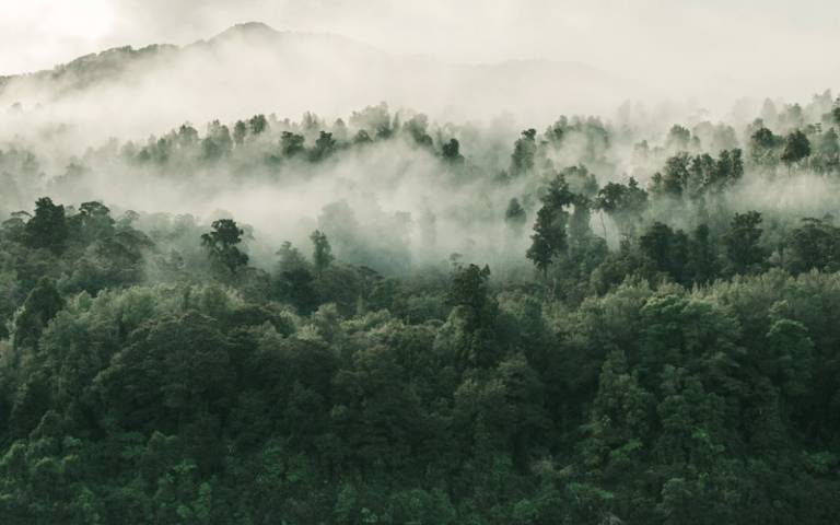
Geographical Information Systems enable users to record, analyse and present information connected to geographical area, and so are very useful when presenting evidence about land use. However, current Geographic Information Systems (GIS) require significant education and knowledge to operate. ExCiteS’ objective was to develop innovative GIS tools that can be used by semi-nomadic and non-literate indigenous communities. Challenges included the difficulties of making electronics work in a wet, dusty environment, getting a GPS signal through dense forest canopies, and designing interfaces for non-literate users.
A first prototype combined a smartphone with a commercially available frying pan based charged and a custom app. Interfaces designed to describe distances in terms of football pitches (encountered in nearby villages) successfully enabled non-literate users to log locations and behaviour through a series of icons. Hundreds of local people trialled the device, and the UCL team were able to learn how icons were understood, identify potential difficulties with navigating the system, and, together, improve the system.
The project emerged from work with indigenous Pygmy groups in the Congo Basin, who already participated in environmental data collection and monitoring of illegal activities such as poaching and deforestation. They expressed a need to have greater control over their local areas, which the ExCiteS group hoped to address by providing a framework, tools and methodologies to allow the indigenous groups to analyse the information they collected. This, it was hoped, could help them to understand environmental change, and so facilitate informed decision-making. The local people also wanted to have a way to document and report corrupt officials.
For the research group, the project improved understanding of how technology can assist non-literate people in rapidly changing environments; explored new ways for lay users to interact with GIS; and explored the potential for using geographic technologies to facilitate anthropological research about conceptions of the environment. The project has since expanded to Namibia, the Brazilian Amazon and parts of the UK, continuing the mission of presenting inhabitants’ concerns in scientifically validated, easy-to-understand ways.
Just one example of how research at UCL Civil, Environmental and Geomatic Engineering could change the world.