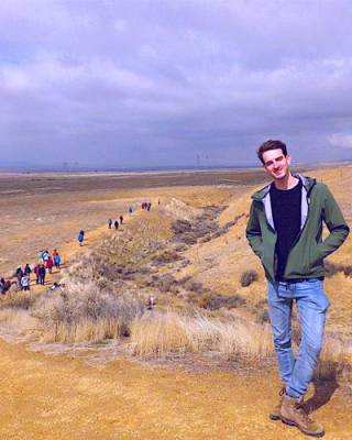
"CAT scanning the Earth using seismic waves!"
PhD project title:
3D global seismic attenuation tomography and geodynamical implications.
 Project description:

When an earthquake ruptures, seismic waves propagate through the Earth. We can utilise informa tion from seismic waves to image Earth structure, a process called seismic tomography. Traditional methods have focused on imaging Earth’s elastic structure, but a knowledge of the Earth’s anelastic structure allows for a more detailed mapping of variations in temperature, composition and the pres-ence of water. Anelasticity can be determined through the study of seismic attenuation, the energy loss experienced by seismic waves as they propagate through grain-boundary friction. Therefore, I intend to build a global 3D tomography model of seismic attenuation of the Earth’s mantle, using innovative and novel data sets and modelling techniques, with the aim of further increasing the resolution of Earth structure.
Whilst seismic tomography only provides a snapshot image of the Earth, dynamic processes can be modelled over million of years using geodynamic modelling. The joint interpretation of seismic tomography and geodynamic modelling provides a unique tool for further understanding Earth properties and processes. To take advantage of this, I will programme 3D geodynamic models, and go on to investigate intriguing features such as mantle plumes and subducting slabs. Such knowledge is essential to increase of understanding of Earth structure and evolution.
Background: I also completed by undergraduate studies at UCL, with an MSci in Geophysics. For my masters project, I worked with Dr Ana Ferreira, where I investigated radial anisotropy in the mid-mantle around subduction zones.
 Close
Close

