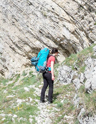
“Using variety of techniques to understand rocks.”
PhD project title:
4-dimensional Evolution of Fault Zones.
 Project description:

Earthquakes are nature’s deadliest force. Five of the ten worst natural disasters since 1900 were earthquakes (three were storms and two were floods). For my PhD thesis, I will investigate two earthquakes –the 1970 Gediz and 2010 El Mayor-Cucapah events– to determine their recurrence time and near-field deformation. I will do so using a combination of
cosmogenic nuclide geochronology and remote sensing by the Co-registration of Optically Sensed Images and Correlation (COSI-Corr) method.
The cosmogenic nuclide results will help constrain earthquake magnitude and recurrence intervals over the past 102 to 107 years, whereas the remote sensing analysis will precisely quantify on- and off-fault movement, deformation and geometry over shorter, decadal time scales. Hence, combining the data from remote sensing surveys and palaeoseismology, I will be able to model source, geometry and kinematics, and understand both the short- and long-term evolution of active faults.
Because earthquakes are some of the deadliest natural hazards, the results from this study will not only help to aid to our understanding of fault mechanics and improve knowledge of the tectonic movements in the study areas, but most importantly, help to improve probabilistic hazard prediction and mitigation in tectonically active areas.
 Close
Close

