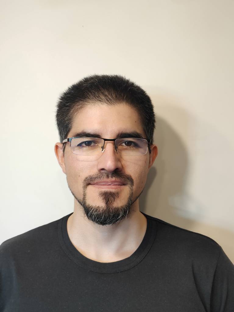
Our MSc alumnus presents at international conference
20 July 2021
Erick Sanchez Castillo, a recent graduate, presented his paper at the Congress of the International Society of Photogrammetry and Remote Sensing.

Erick Sanchez Castillo, a recent graduate from MSc Geospatial Sciences (Building Information Modelling and Surveying) presented a paper at the Congress of the International Society of Photogrammetry and Remote Sensing.
We asked Erick a few questions about his paper and studying in the Department of Civil, Environmental and Geomatic Engineering.
What was your presentation on?
The paper is titled "Semantic segmentation of terrestrial LiDAR data using co-registered RGB data".
Terrestrial laser scanners are surveying instruments that are widely used for capturing the 3D environments and spatial information of buildings and facilities. It allows engineers to digitalise the reality and bring context to building information models, delivering a high-resolution point cloud that has many uses e.g., in architecture, asset management, monitoring. However, it requires a highly specialised operator that can interpret the scene, who also classifies the point cloud and separates it from structural objects, furniture, doors, etc. This is commonly known as semantic segmentation.
Our paper proposes a semantic segmentation pipeline for terrestrial laser scanning data, where the photographic information captured from the scanner is used to automatically create a dataset of the position by applying a pretrained 2D convolutional neural network. This would mean we could use the knowledge that comes with machine learning models, created for 2D images' segmentation, rather than relying on the intensive training currently needed. This would create a better use of resources. The colour information from the terrestrial laser scanner helps us understand the captured environment, and that this is an area for further research.
How did you become interested in that area of research?
As a surveyor, I have been working with laser scanning technology for the last few years, but during my MSc I learned that semantic segmentation is a problem for different industries and for the scientific community. I chose this project from my supervisor, Dr Jan Boehm, and with his guidance I was able to create this pipeline. It was a fantastic opportunity to use CEGE's top-of-the-line laser instrument and to develop a novel idea that can contribute to geomatics advances using machine learning.
How did your presentation come about?
Well, after my final project presentation in October last year, Dr Boehm suggested that this work could be published at the digital ISPRS Congress in 2021. Over the next months, David Griffiths (PhD student), Jan Boehm and I, worked on the abstract and then the paper for this conference. It got accepted with great interest.
What are you doing now you have finished your MSc?
I am now in Chile, working for a mining company in the geomatics team, in charge of the process modernisation for the Latin American region.
How did your MSc help you?
A degree in geospatial sciences from UCL is without doubt a recognisable distinction all over the world. I will be always grateful for the incredible experience that my MSc gave me, the technology, the expertise, and profound knowledge that the academics deliver every day. I am especially thankful to CEGE for showing me geospatial sciences in a new whole level, where geographic information is the base for the future in different areas, and how we could be part of this revolution.
 Close
Close

