 Close
Close

Data science latest
120 results

CASA Working Paper 57
CASA Working Paper 57. 1 July 2002. Delivering light-weight online geographic information analysis using ArcIMS. As of July 9, 2002, more than 300 websites, which provide automated mapping and facilities management over the internet, are registered…
Centre for Advanced Spatial Analysis
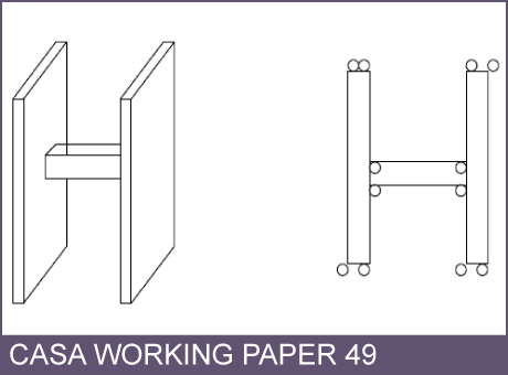
CASA Working Paper 49
CASA Working Paper 49. 1 May 2002. Multi-dimensional Modelling for the National Mapping Agency: A Discussion of Initial Ideas, Considerations, and Challenges. The Ordnance Survey, the National Mapping Agency (NMA) for Great Britain, has recently…
Centre for Advanced Spatial Analysis
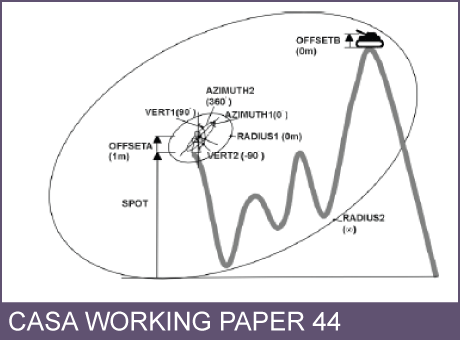
CASA Working Paper 44
CASA Working Paper 44. 1 February 2002. Optimising visibility analyses using topographic features on the terrain. The advantages of using the fundamental topographic features of a surface namely the peaks, pits, passes, ridges and channels as the…
Centre for Advanced Spatial Analysis

CASA Working Paper 45
CASA Working Paper 45. 1 February 2002. Usability Testing for improving interactive Geovisualization techniques. Usability describes a product's fitness for use according to a set of predefined criteria. Whatever the aim of the product, it should…
Centre for Advanced Spatial Analysis

CASA Working Paper 43
CASA Working Paper 43. 1 February 2002. Surface Networks. The desire to understand and exploit the structure of continuous surfaces is common to researchers in a range of disciplines. Few examples of the varied surfaces forming an integral part of…
Centre for Advanced Spatial Analysis