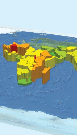
Visualising Spatial Inequalities: GIS for Developing Countries
Short Title: Visualising Space inequalities. Sponsored by: DFID. End date: 01/01/2005
28 November 2016
We are acquiring expertise in using spatial analysis to inform our understanding of patterns of urban and rural change in developing countries. A recent project for DFID with the Max Lock Centre at the University of Westminster has propelled us into this area.

Joana Barros is working with simulating the growth and upgrading of favela in Brazilian cities using agent based models, Sinesio Alves Junior is working on the geodemographics of Brazilian cities, particularly Sao Paolo using new methods for classifying rich and poor, Kampanart Piyathamrongchai is working on an integrated model of urban dynamics for the growth of Thai cities, and Chuthatip Achavasmit is working on integrating decision support systems in the Thai planning system.
People
Michael Batty
View Michael's profile
Sinesio Alves Junior
Elena Bessusi
 Close
Close

