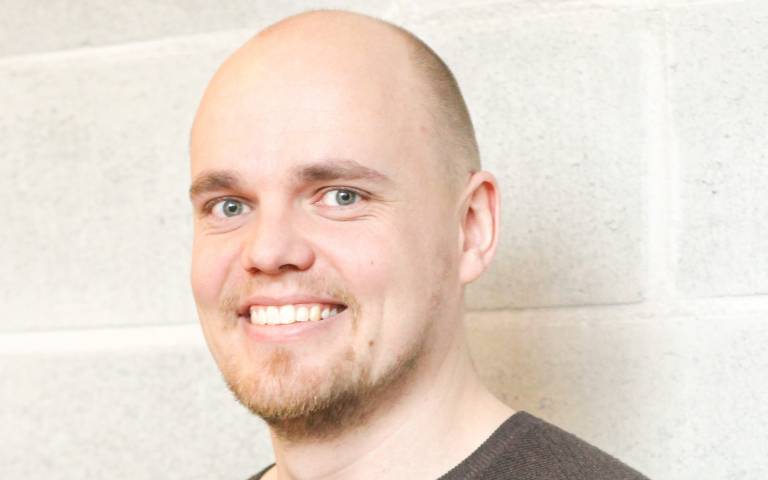
Dr Henrikki Tenkanen | Capturing time in space
23 January 2019, 5:00 pm–6:00 pm

Capturing time in space – Investigating equity in transport with multidimensional analyses of accessibility and mobility
This event is free.
Event Information
Open to
- All
Availability
- Yes
Cost
- Free
Organiser
-
Dr Ana Basiri
Location
-
Room G0385: 26 Bedford Way26 Bedford WayLondonWC1H 0DSUnited Kingdom
Understanding the spatial patterns of accessibility and mobility is a key to comprehend the functioning of our societies. Hence, their analysis has become increasingly important not only for scientific research but also for practical spatial planning in cities where planners and decision makers face difficult, complex and intertwined issues about urban sprawl, climate change, sustainability, equity, and efficiency, just to name a few. While both spatial accessibility and mobility have been widely studied, the understanding of their relation to each other, and how time and temporal change affect accessibility and mobility has been rather limited this far. In the era of ‘big data’, the wealth of temporally sensitive spatial data has made it possible, better than ever, to capture and understand the temporal realities of spatial accessibility and mobility, also with different travel modes. Currently, however, there is a lack of tools to measure and provide information about how equitable cities are from the transportation perspective, comparing different travel modes realistically to each other. In this presentation, discuss how open data and multidimensional accessibility and mobility analytics can provide new insights about the equity in transport, which is the focus on my current research project that has just started.
Download Dr Tenkanen's slides here:
About the Speaker
Dr Henrikki Tenkanen
at University of Helsinki
Henrikki is a postdoctoral researcher, geographer and geodata scientist who is currently conducting his research as an affiliate academic at the Dept. of Geography / Consumer Data Research Centre, UCL. Henrikki conducted his MSc and PhD at the University of Helsinki where he worked at Digital Geography Lab (2012-2018). His research focuses on multimodal spatio-temporal accessibility modelling and spatial mobility analytics. In his work he has utilized various big data sources such as mobile phone data, social media data, transport schedules, and VGI to answer questions related to spatial planning in urban contexts and in relation to nature conservation. In addition, Henrikki has developed free and openly available courses called Geo-Python and Automating GIS-processes that give introduction to programming, data science and GIS using Python programming language. At UCL, Henrikki is leading a research project that focuses on understanding the centrality of cities and the modal equity in transport, comparing public transport and private car to each other, covering different cities across the world.
 Close
Close

