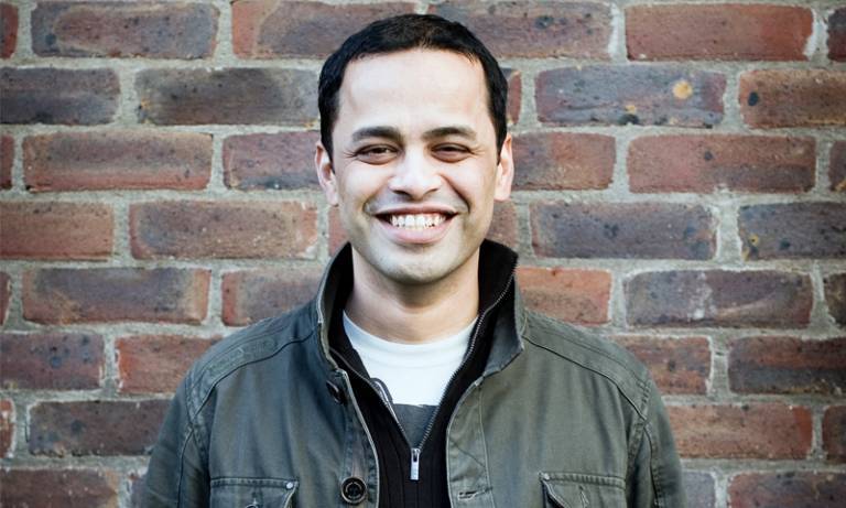
21 Feb 2018 | 5pm | Supporting Geodesign from Space | Hrishi Ballal
21 February 2018, 5:00 pm–6:00 pm

Event Information
Open to
- All
Availability
- Yes
Organiser
-
UCL Centre for Advanced Spatial Analysis (UCL CASA)
Location
-
LG04 Lecture Theatre, 26 Bedford Way, London, United Kingdom, WC1H 0DS
Title: Supporting Geodesign from Space
Speaker/s: Hrishi Ballal
Abstract
Advances in satellite technology and the open availability of high resolution earth observation data (e.g. Sentinel 2) have important implications for geodesign. This combined with the advances in cloud computing infrastructure mean that a new class of geo-applications can be built that leverage supercomputers and huge data processing and analysis capability. In this talk Dr. Ballal will focus on an open-source toolset built by Geodesignhub (www.geodesignhub.com) that uses advanced geo-computing environment built by Mundialis GmbH (www.mundialis.de). Dr. Ballal will demonstrate how this toolset is to enable high performance collaborative design by providing citizens and professionals high performance site assessment and impacts of design interventions in near real time.
Bio
Hrishikesh Ballal is the Founder and Managing Director of Geodesign Hub Pvt. Ltd. The focus of his research is in systems approach to design and in collaborative design. In 2015, he completed his PhD in geodesign from the Centre for Advanced Spatial Analysis, University College London.
Dr. Ballal has expertise in building and managing complex engineering systems. He is a Mechanical Engineer by training with a specialization in Engineering Systems Design. Prior to his work in geodesign, he worked as a Systems Architect within the Microsoft Business Division and later as a Compliance Engineer in the Microsoft Devices Division. His engineering background includes master’s degrees from the University of Michigan in Ann Arbor and Massachusetts Institute of Technology in Cambridge, USA and a bachelor’s degree from Nagpur University in Nagpur, India.
 Close
Close

