CASA Working Paper 174
CensusProfiler - Creating accessible Geovisualizations of the Census of Population

9 December 2011
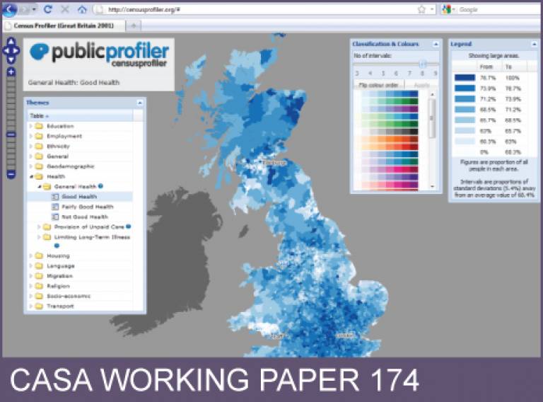
This paper describes the outcome of the Census Geographic Visualization (Censusgiv) research project; a web prototype that offers significant geographic visualizations of the most significant Census outputs termed 'CensusProfiler'. This website is accessible by any member of the general public and is focused on exploring Census data geographically with very easy navigability, based on open-source software for mapping mashups. There is a gap in the dissemination of Census outputs through meaningful geographic visualizations, within and outside the research community. Local government bodies, health authorities, NGOs and the general public are demanding this type of easily accessible geographic visualizations of the Census that are not sufficiently addressed by current 2001 Census websites. This research project renders visualization methods, Census data and intuitive mapping easily accessible to the social science research community and effects knowledge transfer to local government and public services, as well as to a lay audience, through an interactive web-based geographic visualization.
Authors: Pablo Mateos, Oliver O'Brien
Publication Date: 11/2011
RPS ID:
Download working paper No. 174. File size 2.17MB, PDF format.
 Close
Close

