CASA Working Paper 148

1 May 2009
3D cities and numerical weather prediction models: An overview of the methods used in the LUCID project
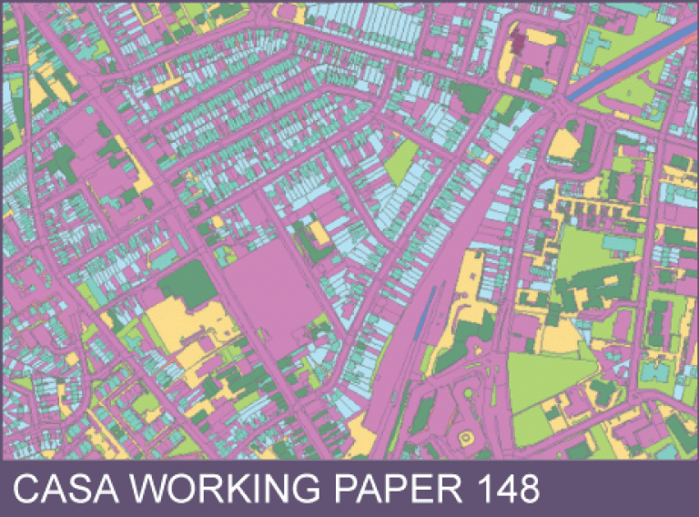
Transferring spatial data between different types of spatial models is often a much trickier process than GIS professionals would like to admit. This is further complicated if the models were generated for very different purposes and at different levels of spatial granularity and using different spatial projections. This is the case when you try to couple Ordnance Survey Mastermap data (which is at a 1:1,250 scale) with a numerical weather prediction model (NWP), (which until this project was based upon a grid of around 4km per grid cell). To achieve this, some new methods were developed to generate data for a localised NWP model at a 1000m and a 250m grid for the UK Meteorological Office as part of the LUCID project (the development of a Local Urban Climate Model and its Application to the Intelligent Development of Cities).
These methods generated detailed urban morphology data to act as input data for the climate models, using Geographical Information System (GIS). The results form part of a chain of data that contribute to the main LUCID target: to develop world leading methods for calculating local temperature and air quality in the urban environment, in particular with reference to the heat island effect in large urban areas (in this case London).
This working paper is available as a PDF. The file size is 2.25MB.
Authors: Steve Evans
Publication Date: 1/5/2009
 Close
Close

