CASA Working Paper 40

1 January 2002
Classification Methods for Spatial Data Representation
It is necessary to classify numerical values of spatial data when representing them on a map and visually understanding it. In consequence, loss of information from original data is inevitable in the process of this classification. A gate loss of information might lead to a misunderstanding of the nature of original data.
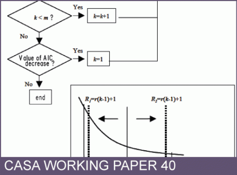
In this study, a classification method of spatial data is proposed, in which the loss of information is minimized. Comparing our method with other existing classification methods, some new findings are shown.
This working paper is available as a PDF. The file size is 748KB.
Authors: Toshihiro Osaragi
Publication Date: 1/1/2002
 Close
Close

