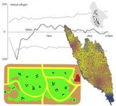
This module provides a working knowledge of the statistical theory and methods used to comprehend spatial patterns.

This module provides a working knowledge of the statistical theory and methods used to comprehend spatial patterns, whether the latter be distributions of settlements across a landscape, densities of artefacts across a site or region, or different kinds of archaeological sampling procedure.
Students learn the fundamental differences between spatial and non-spatial statistics, the design of appropriate sampling strategies for fieldwork, geostatistical methods (e.g. kriging), predictive modelling through logistic regression and more spatially-sensitive versions (e.g. geographically-weighted regression) as well as the multi-scalar analysis of point patterns (e.g. K functions and related methods). They develop practical familiarity with the R statistical package, which is the premier Open Source software environment for statistical analysis.
The module is suitable for all those interested in spatial analysis (including those with no prior training in statistics or GIS). However, many students welcome the opportunity to learn a complete workflow from data extraction through to analysis and presentation of results (using the elegant links between GRASS GIS and R).
The module is taught using a combination of lectures, practical sessions and tutorials in the Institute's AGIS laboratory and is assessed via a portfolio of analytical work and one essay. It would particularly benefit those who have an interest in statistically-supported approaches to spatial phenomena.
Module information
- Code: ARCL0103
- Credits: 15
- Coordinator: Andy Bevan
- Handbook: open»
For registered students
- Reading list: open»
Availability
- Running in 2023-24
 Close
Close


