Many early medieval meeting-places can be located and mapped with some precision. In some cases the meeting-place has never been lost, and its existence is recorded in local histories and traditions, or other written sources. The name of the hundred can sometimes provide information regarding its location: hills, trees, rivers, barrows, standing stones, fords, bridges and crossroads are all described by meeting-place names, and these may be positively identified in the landscape.
The project aims to characterise through fieldwork those meeting-places which are identifiable in order to address a range of questions:
- How do they relate to prehistoric, Roman or early medieval monuments? Are we able to discern any particular cultural meanings which might be attributed to these places?
- How do assembly places relate to rural settlements, urban centres and routes of communication? How do these places exist within a 'settled' landscape and how accessible were they?
- Were particular landscape settings favoured for meeting-places? Are sites visibly prominent or secluded? Do they have lines-of-sight or views with/over natural or monumental features? Are there particular acoustic phenomena which may have influenced the location of meeting-places?
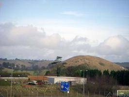
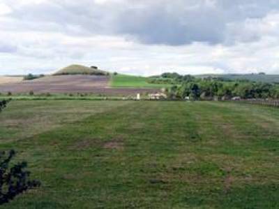
The meeting-places of Heane (Kent) and Swanborough (Wiltshire) hundreds are close to distinctive natural features
We aim to record a large proportion of the identifiable meeting-places in England using a standardised proforma, which will summarise the main characteristics of each site as well as mapping the topographical setting, its views, lines-of-sight, orientations, and acoustic properties. Each record forms the basis for entries in the Electronic Anderson, and detailed maps in GIS.
VOLUNTEERING
The project is actively seeking to involve local groups in identifying possible sites and recording them for inclusion in an on-line database. If you would like to be involved please contact Stuart Brookes for more information.
 Close
Close


