Mapping and tracking the evolution of a city
18 May 2010
Links:
 casa.ucl.ac.uk/people/person.asp?ID=234" target="_self">Dr Kiril Stanilov
Dr
Kiril Stanilov, a Marie Curie research fellow at UCL's Centre for
Advanced Spatial Analysis (CASA) is developing a historical model of
urban growth to explore the evolution of London.
The model will be used to investigate the forces shaping
the emergence and evolution of London's metropolitan form. The results
so far raise questions about common assumptions such as the sprawl of
London in the interwar period and the role of the car in determining
post-war growth patterns.
The model points to a remarkable constancy of spatial
relationships over different historical periods and highlights the
importance of pre-urban land use, land ownership patterns and
infrastructure as a framework to determine future urban growth
patterns.
Using a map from 1875, the model predicts with a
surprising level of accuracy the patterns of development in West London
for the following 130 years.
Dr Stanilov said: "My interest is in using modelling as a
tool to understand the physical evolution of cities and the dynamic
patterns of their growth and urban form transformations. Most of my
research has been centred on the morphology of cities in the US and
Eastern Europe, so a study of London was not really on my to-do list
but this all changed when I came across the amazing historical maps
done by the Ordnance Survey.
"These maps represent the patterns of urban development
going back to the mid-19th century with an unbelievable level of
accuracy and they're updated every 20 years so they offer a unique
opportunity to trace and reconstruct the growth of an entire
metropolis, building by building, over the course of the last two
centuries. I say 'unique' because to my knowledge and according to my
colleagues in the field, this has never been done before."
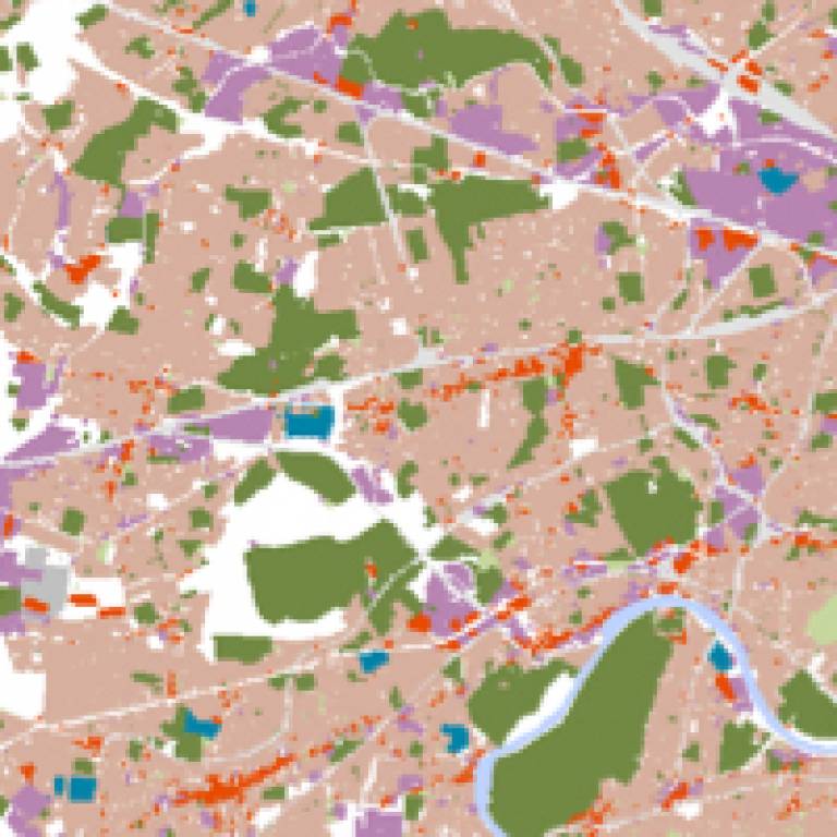
Dr Stanilov is currently taking a 200 sq km area of West
London that stretches from Hyde Park west to the M25 as a pilot study
and has already presented the preliminary results at international
conferences in London, Paris, Tokyo and Hong Kong.
CASA is currently putting together a proposal for funding which would allow Dr Stanilov to document the evolution of the entire Greater London area over the last two centuries and test the model on a metropolitan scale.
Image above: A detail from the West London growth model
UCL context
The Centre for Advanced Spatial Analysis is a (CASA) is an
initiative within University College London to develop emerging
computer technologies in several disciplines which deal with geography,
space, location, and the built environment. As an interdisciplinary
research centre expertise is drawn from archaeology, architecture,
cartography, computer science, environmental science, geography,
planning, remote sensing, geomatic engineering, and transport studies.
This generates a unique blend of personnel who operate from CASA and
associated departments within UCL.
 Close
Close

